The Easter break found us again spending time at Lake Taupo and with the weather looking excellent through to late Easter Sunday I started thinking Saturday could be a good day to plan for an activation of Rangitukua, one of the yet to be activated summits nearby at the southern end of the lake.
A few other ZL’s were indicating they were likely to be activating on the day so it was looking like there could be some good summit to summit activity as a bonus.

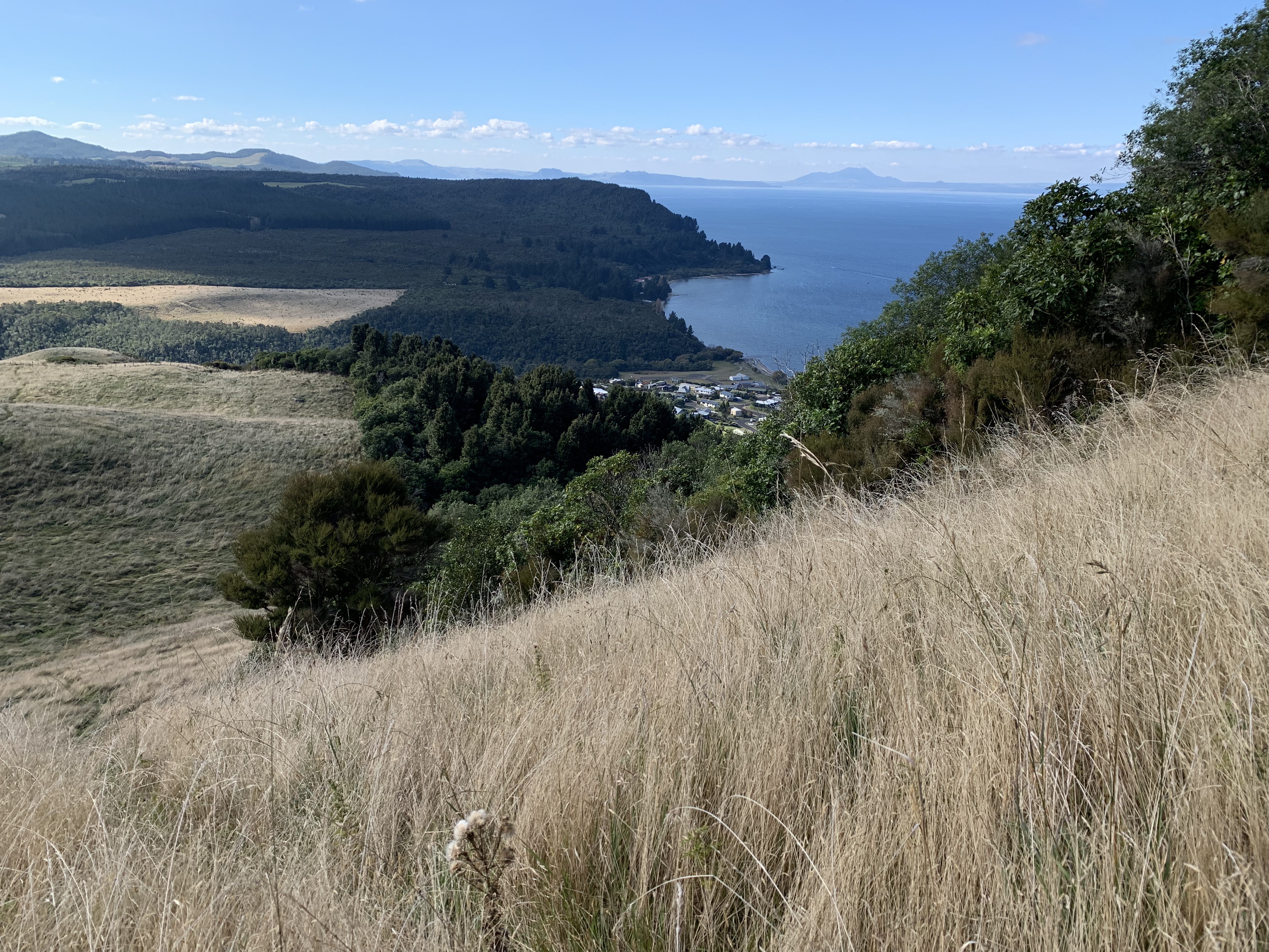
From our location I could look across the southern end of the lake and see Rangitukua to the north west, the side that flanks the lake is not where you would plan to start your ascent, being very steep with cliffs dropping to near the lake edge, but the Northwest side facing away from the lake looked a far better proposition so I decided to go and check out access a few days prior to Saturday.
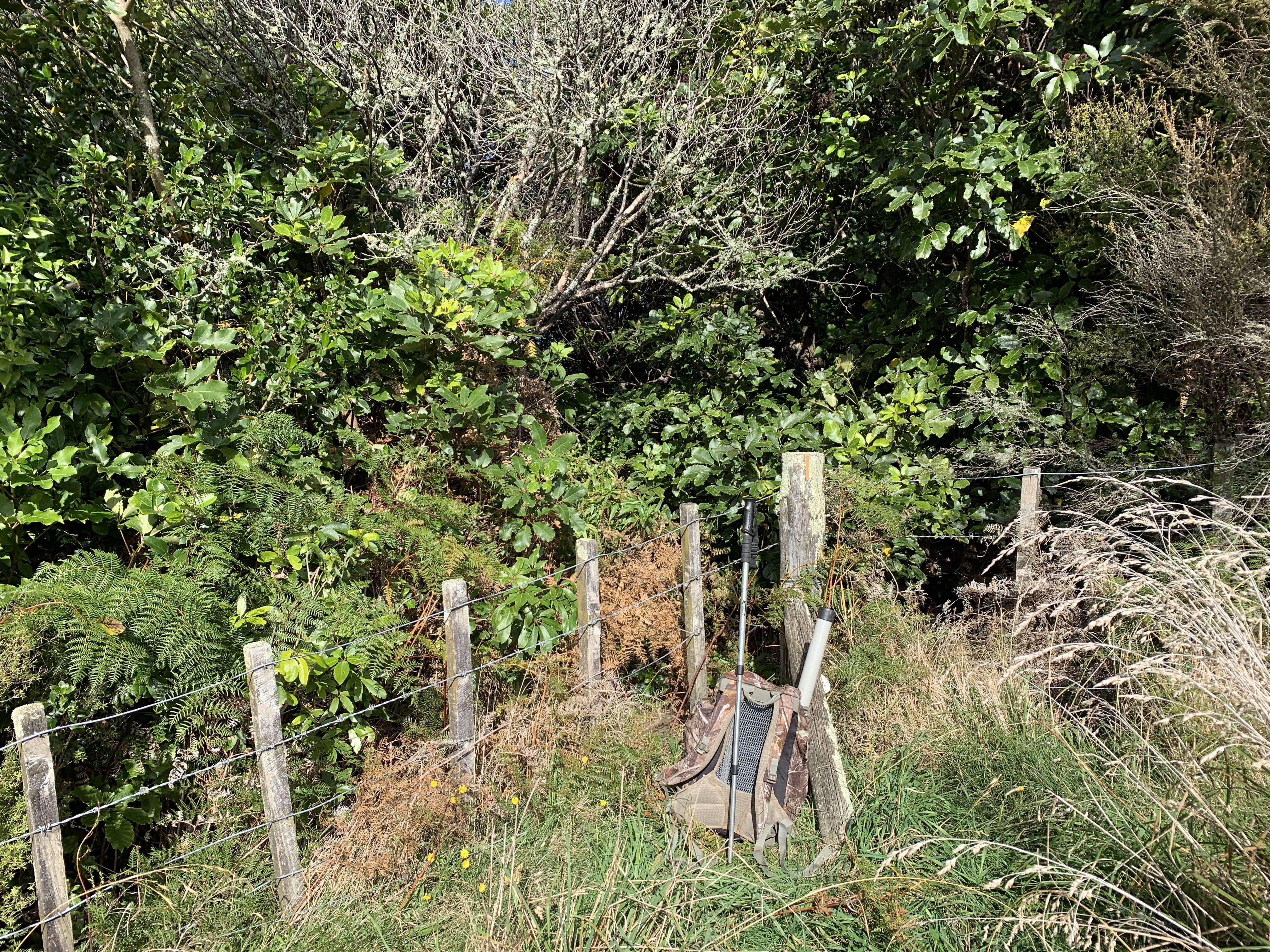
The little lakeside holiday town of Whareroa sits at the base of Rangitukua and I soon found where to get access by talking to the locals. The bush covered portion of Rangitukua is all scenic reserve land and is untracked but not too difficult to find your way to the summit, you will benefit from having a GPS though to get you right on target as there are no vantage points or views from the top to help pinpoint your position and it’s reasonably thick bush. The reserve is adjacent to private farm land and according to the locals the landowner doesn’t mind the public following the fence line (more or less) up to the point where the bush is entered.

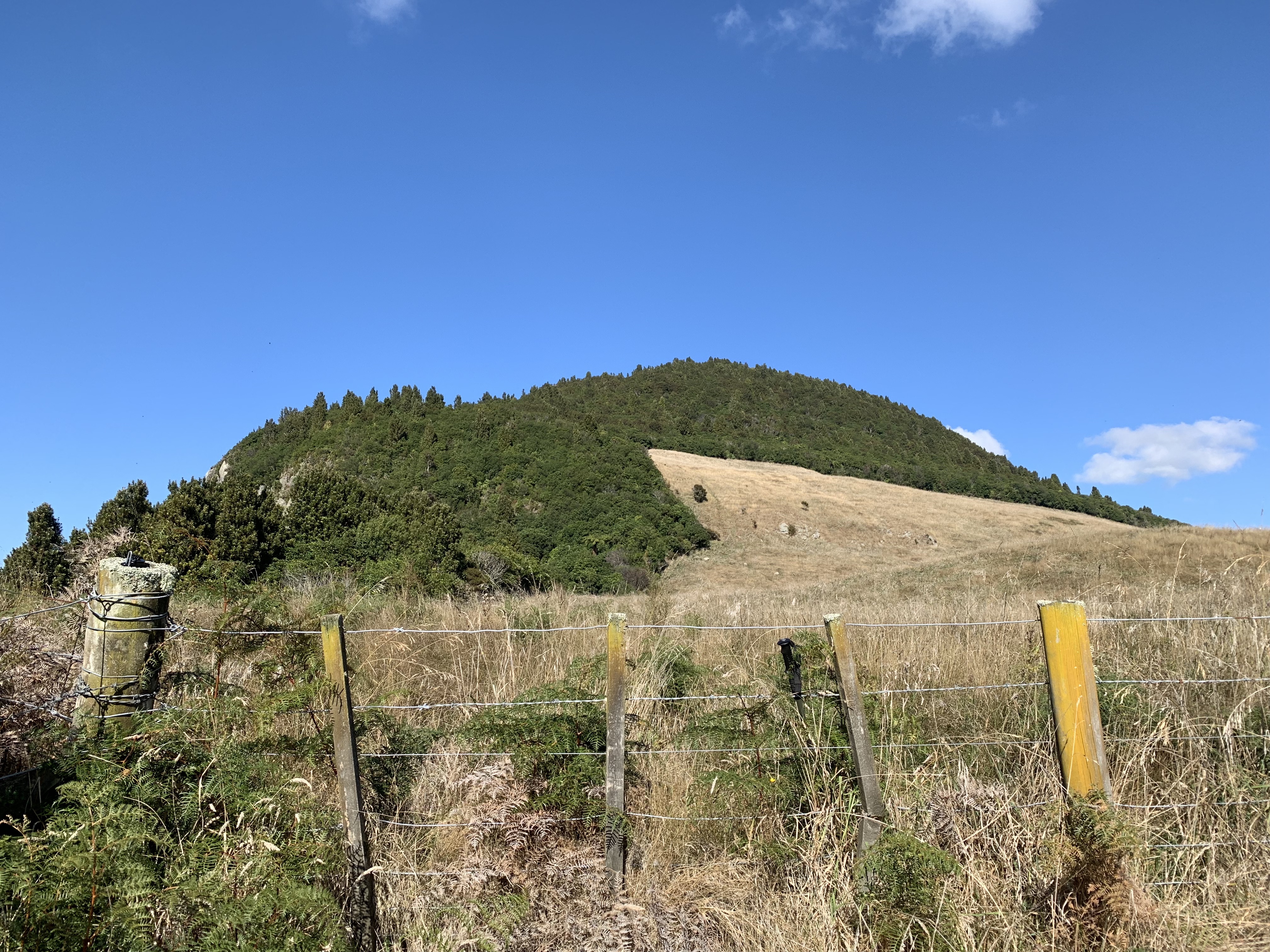

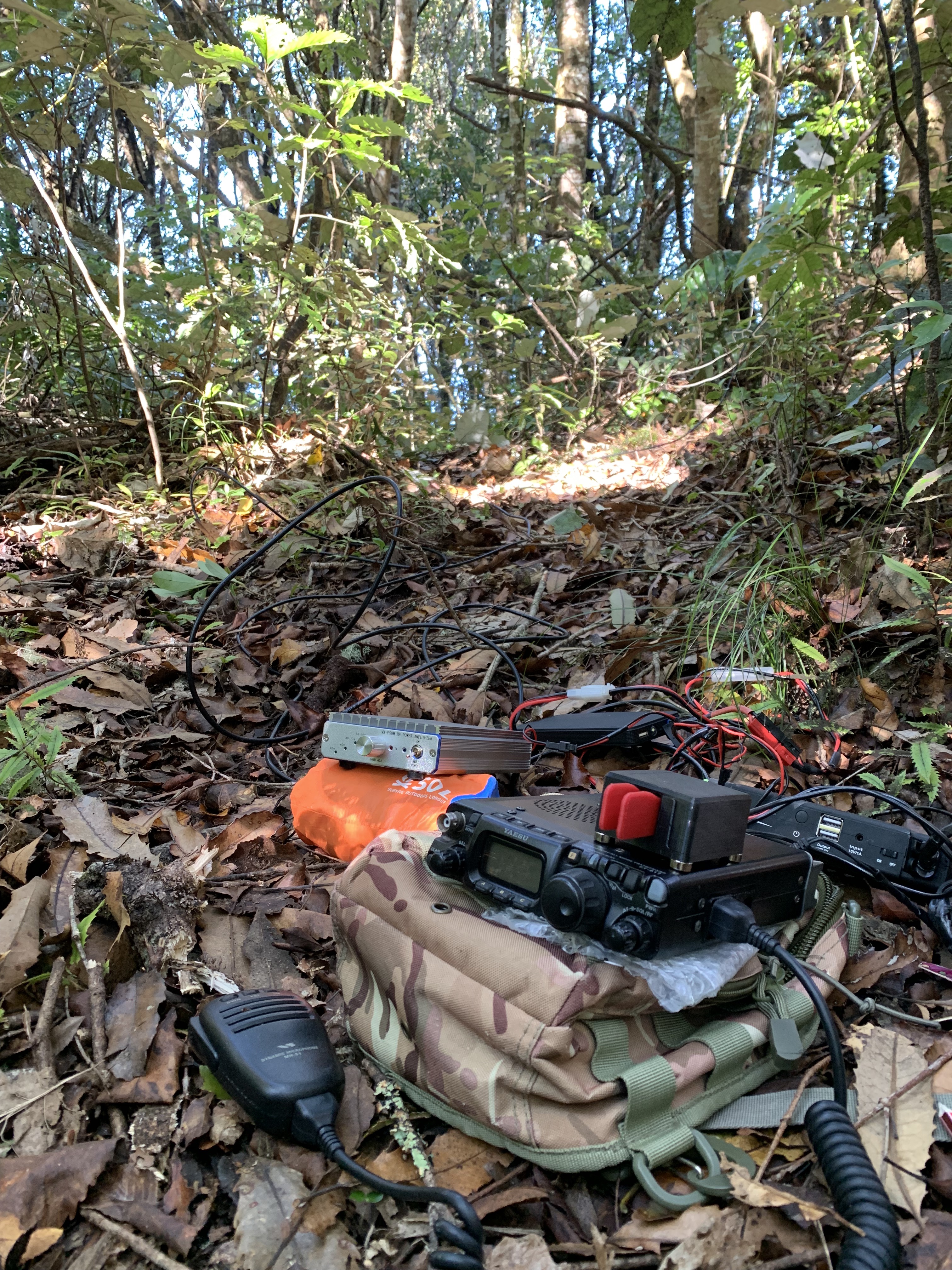
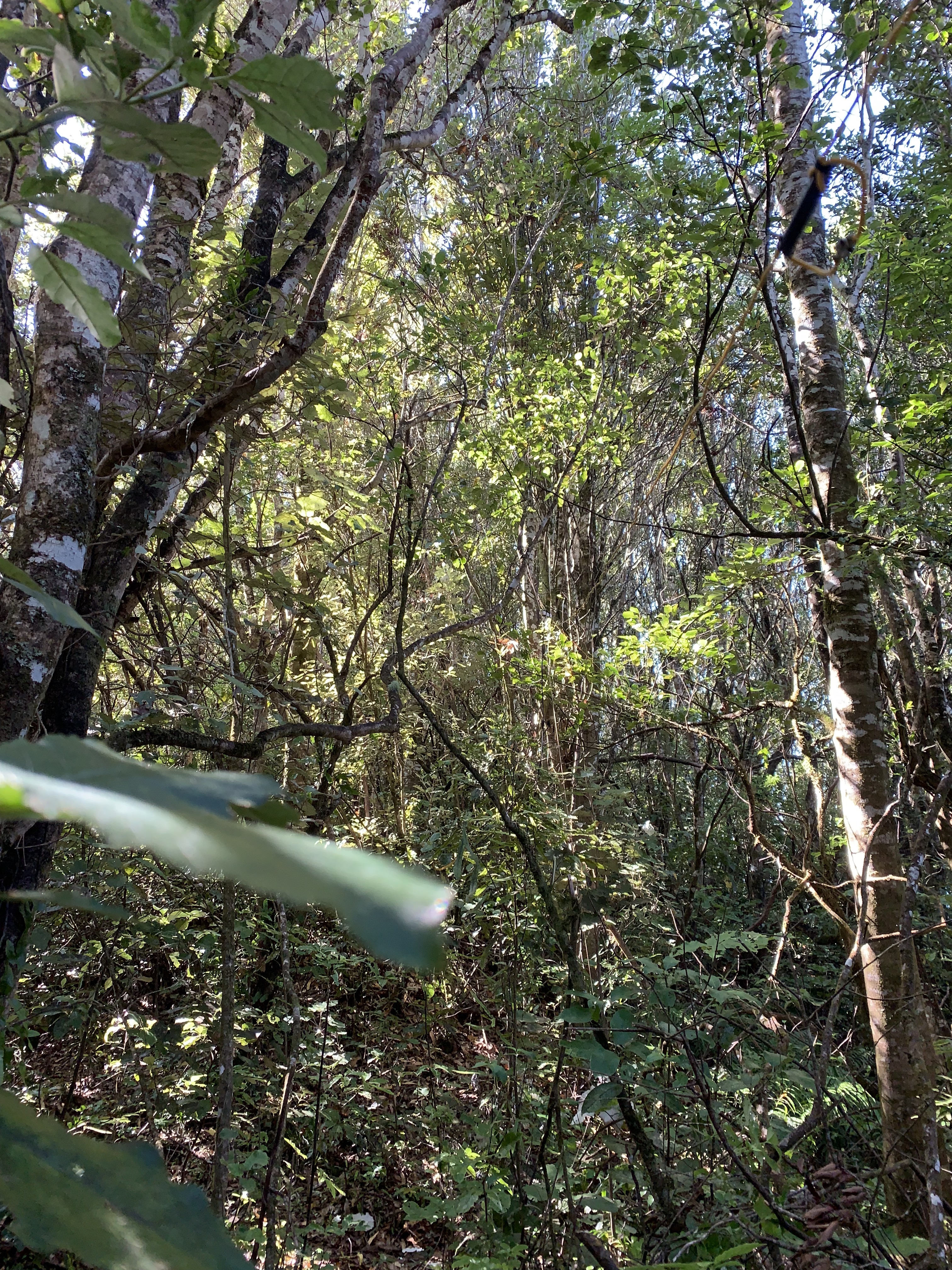
Rangitukua summit is 726m above sea level but Lake Taupo already sits roughly 360m above sea level so for 4 activation points its only 360m or so to climb to the top, not a big climb but steep in places and hard going in the long grassy section. After a little over an hour I arrived at the summit and soon got set up for the activation, not much clear room for the dipole inside the bush but it was soon threaded through the trees and up “good enough” and I was able to get started. With five other ZL’s now activating around the country I concentrated first on getting summit to summits logged with them all, that took a little over an hour to achieve. 60 meters worked well for S2S’s with ZL1BYZ, ZL2AJ and ZL4DVG, 40 meters provided the other two summit contacts with ZL2JML AND ZL1SKL.
Both ZL1BYZ and ZL2JML had their partners along on their activations and they are both licensed operators so it was good to get Jackie (ZL1WA) and Ada (ZL2ADA) in the log also.
I switched to 20 meters and couldn’t manage any contacts, just some weak CW was heard but unworkable. I made no VK contacts and moved back to 40 meters where I could only manage two more ZL’s on CW before packing up and working my way back down to Sarah waiting in some shade with a book down near the bottom. A good job the Zl’s were out in force otherwise it could have been a tough activation with the bands the way they were.
Summit – ZL1/WL-074 Rangitukua
Height – 726m Asl
Access – Drive to the very top of Turangitukua Terrace at Whareroa, knock on some doors and the locals will show you where to find the Stile over the fence at the back of some properties, roughly follow the fence/bush line up from here past the water reservoir and enter the bush in the very top left corner of the paddock and continue up to the summit.
Cell – internet – Wasn’t great with Vodafone, I had to move around to get enough signal to send spots. Other providers may be better.
